
|
|
Sold Out
![]()
![]()
![]()
Book Categories |
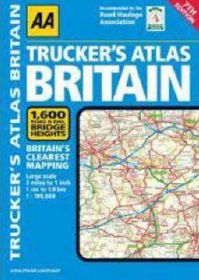
Fully updated for 2008, this essential reference includes truck and freight ferry routes, a route planner map, distance chart, and a road risk rating map designed to help you avoid Britain's more dangerous thoroughfares. More than 1,600 bridge heights are shown, low bridge symbols are provided for all A and B roads, and minor roads more than 4 meters wide are identified. Network Rail's 25 most frequently bashed bridges are also labeled, and large-scale district maps of London, Birmingham, Glasgow, Manchester, and Newcastle are provided.
| Price | Condition | Delivery | Seller | Action |
| $113.36 | Digital |
| WonderClub |
Login|Complaints|Blog|Games|Digital Media|Souls|Obituary|Contact Us|FAQ
CAN'T FIND WHAT YOU'RE LOOKING FOR? CLICK HERE!!! X
You must be logged in to add to WishlistX
This item is in your Wish ListX
This item is in your CollectionAA Trucker's Atlas Britain
X
This Item is in Your InventoryAA Trucker's Atlas Britain
X
You must be logged in to review the productsX
X
X
Add AA Trucker's Atlas Britain, Fully updated for 2008, this essential reference includes truck and freight ferry routes, a route planner map, distance chart, and a road risk rating map designed to help you avoid Britain's more dangerous thoroughfares. More than 1,600 bridge heights are, AA Trucker's Atlas Britain to the inventory that you are selling on WonderClubX
X
Add AA Trucker's Atlas Britain, Fully updated for 2008, this essential reference includes truck and freight ferry routes, a route planner map, distance chart, and a road risk rating map designed to help you avoid Britain's more dangerous thoroughfares. More than 1,600 bridge heights are, AA Trucker's Atlas Britain to your collection on WonderClub |