
|
|
Sold Out
![]()
![]()
![]()
Book Categories |
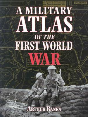
A comprehensive atlas based on the Arthur Banks atlas first published in 1975. The maps in the original were all painstakingly hand-drawn in black and white, covering every aspect of the first truly global war. This book takes the information laid down by Banks and reinterprets it in full color, computer modeled cartography. The book covers the main reasons why the major powers entered the conflict, the individual battles fought along the Western Front as well as in depth coverage of the war in the east of Europe. The War at sea is mapped in great detail, including the clashes at Dogger Bank and Jutland as well as the German submarine campaigns and the first major sea borne landing at Gallipoli. The First World War saw the first extensive use of air power, maps show the routes taken by the German Zeppelin raids on eastern England as well as the Allied strategic bombing effort at the end of the war. In Arthur Banks own words: "I hope that the book will be a convenient reference work which deals with those areas where a more detailed examination in cartographical terms has long been demanded.
| Price | Condition | Delivery | Seller | Action |
| $99.99 | Digital |
| WonderClub |
Nicholas Tubb
reviewed A military atlas of the First World War on October 16, 2015 A military atlas of the First World War
This book remains an indispensable resource for any with a more than passing interest in the First World War.
Login|Complaints|Blog|Games|Digital Media|Souls|Obituary|Contact Us|FAQ
CAN'T FIND WHAT YOU'RE LOOKING FOR? CLICK HERE!!! X
You must be logged in to add to WishlistX
This item is in your Wish ListX
This item is in your CollectionA military atlas of the First World War
X
This Item is in Your InventoryA military atlas of the First World War
X
You must be logged in to review the productsX
X
X
Add A military atlas of the First World War, , A military atlas of the First World War to the inventory that you are selling on WonderClubX
X
Add A military atlas of the First World War, , A military atlas of the First World War to your collection on WonderClub |