
|
|
Sold Out
![]()
![]()
![]()
Book Categories |
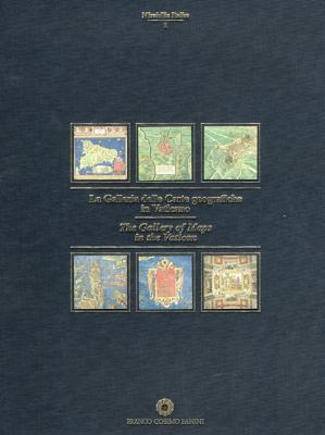
A Renaissance masterpiece, the Gallery of the Maps is the largest geographical representation ever made. Text in English and Italian.
When the Renaissance Pope Gregory XIII (1572-85) decided to commemorate a spacious Vatican gallery, he commissioned the Dominican friar and cosmographer Egnizio Danti. In conscious imitation of the ancient Roman custom of decorating the walls of state buildings with geographical images, Danti designed 40 richly embellished maps of Italian port cities in two parallel lines along the walls. These frescoes constitute the largest cycle of geo-graphical images in Europe. Gambi's (geography, Univ. of Milan) valuable introductory essay treats many aspects of the maps showing, for example, that they are unequal in geographical accuracy. Branch's (emeritus, planning, Univ. of Southern California) work contains 40 detailed maps of European cities, plus maps of Constantinople, Calcutta, Philadelphia, New York, and Boston as they appeared 150 years ago when they were published in London by the Society for the Diffusion of Useful Knowledge. In addition to an introductory essay on the evolution of urban design, each map is accompanied by an informative text on the history and design of that city, stressing the effect of population growth on planning. The maps are based on fine steel engravings, each hand colored. Maps in both volumes have been clearly reproduced, though a magnifying glass is necessary to read the tiny lettering. Students of cartography, the history of art, and social history will find these volumes very useful.Bennett D. Hill, Georgetown Univ., Washington D.C.
| Price | Condition | Delivery | Seller | Action |
| $99.99 | Digital |
| WonderClub |
Lucas Forastieri
reviewed The Gallery of Maps in the Vatican on March 06, 2013 The Gallery of Maps in the Vatican
As an artist I found this book to be very beautiful and inspiring. I love the combination of new technology and art in the old buildings. Ancient carvings grouped with neon. The colors pop and the photos look touchable. I wish I could inhabit these spaces.
Login|Complaints|Blog|Games|Digital Media|Souls|Obituary|Contact Us|FAQ
CAN'T FIND WHAT YOU'RE LOOKING FOR? CLICK HERE!!! X
You must be logged in to add to WishlistX
This item is in your Wish ListX
This item is in your CollectionThe Gallery of Maps in the Vatican
X
This Item is in Your InventoryThe Gallery of Maps in the Vatican
X
You must be logged in to review the productsX
X
X
Add The Gallery of Maps in the Vatican, , The Gallery of Maps in the Vatican to the inventory that you are selling on WonderClubX
X
Add The Gallery of Maps in the Vatican, , The Gallery of Maps in the Vatican to your collection on WonderClub |